Topo-Bathymetric LiDAR and Multibeam sonar lake surveys

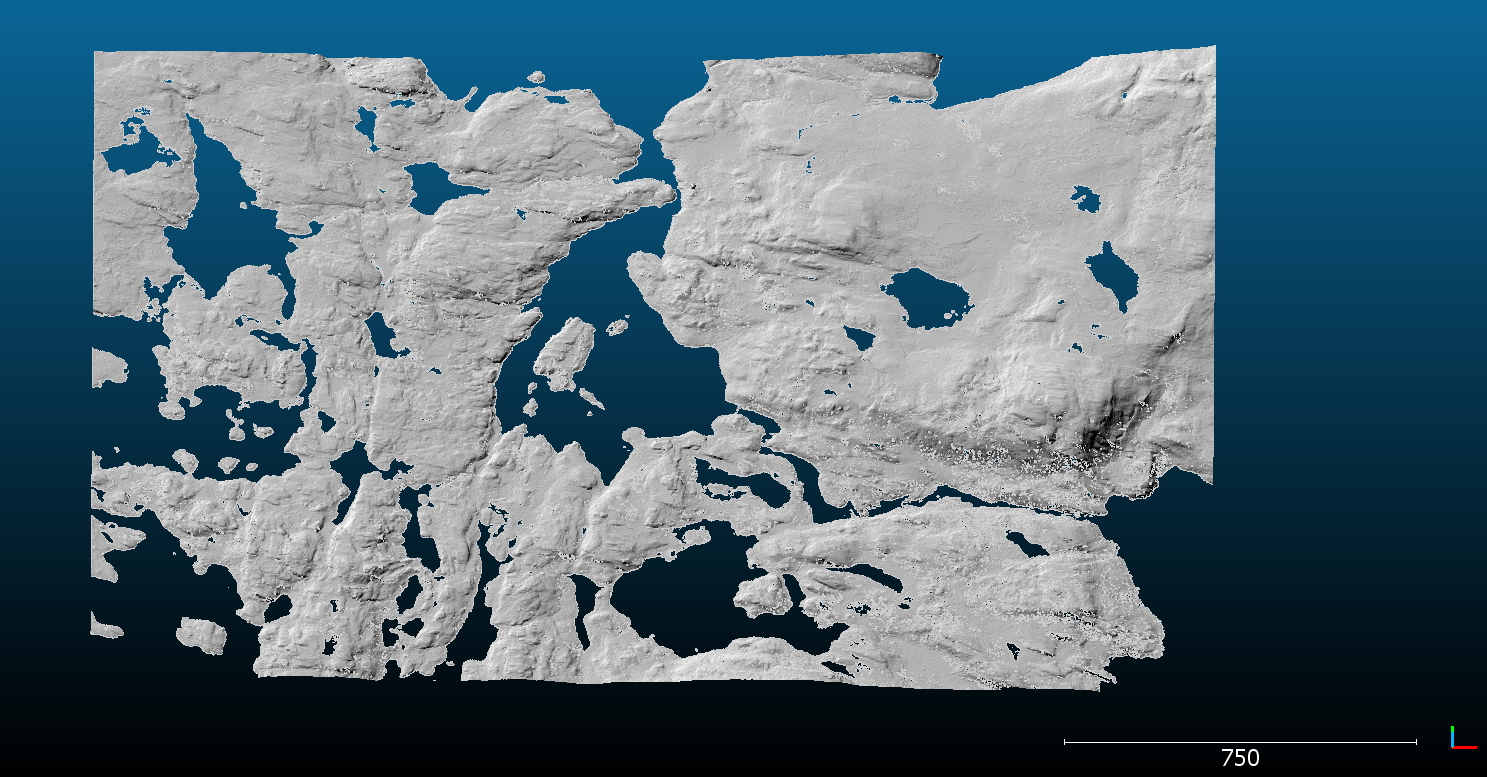
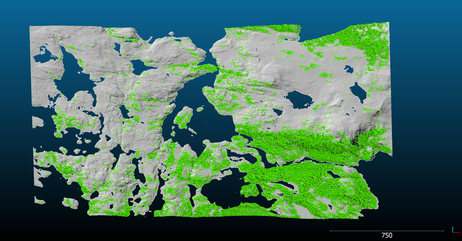
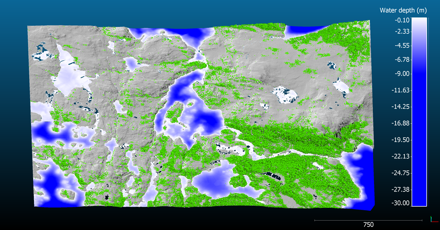
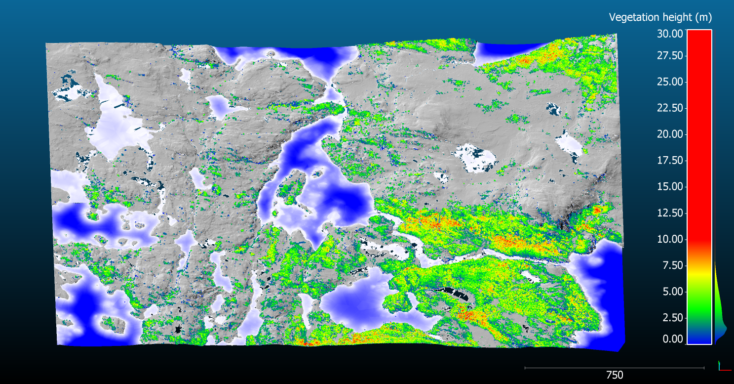
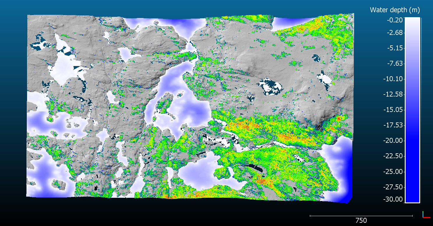
Figure. Topo-bathymetric profile of a hypothetical lake near Abisko, Sweden.

Spatially explicit landscape-scale lake ecosystem models are essential for understanding current and future feedbacks to climate. However, they rely on accurate spatial information of both topography and lake bathymetry. Landscape-scale bathymetric surveys are difficult to carry out with conventional sonars with hundreds of thousands of lakes need to be surveyed. Airborne bathymetric surveys using LiDAR shows promise but rarely used to map lakes.

Hence, to setup a landscape-scale spatially explicit lake ecosystem model in the Abisko region of the Swedish Arctic, I have organized an airborne topo-bathymetric LiDAR survey in collaboration with Dimitri Lague at University of Rennes, France. This survey covered 126 km2 with compromising hundreds of lakes. During August 2020 in collaboration with Terratec Norway, we are carrying out a test flight using the CZMIL Nova an advanced bathymetric LiDAR.
In order to complement the airborne lake bathymetric surveys, I have been using the SONOBOT, a multibeam autonomous hydrography survey platform.